Lils is diving into the Stack the Countries game, which not only focuses on global location/geogrpahy, but also political facts, information, languages, and customs.
For every 8 or so questions she answers accurately, she is awarded another country across the globe. So far, she has about 20 countries, giving her at least one within every continent.
She has a similar game that focuses on the US only, which she mastered a year or so ago, but still enjoys playing. As a result of the Stack the States game, she can populate political state borders across the US, with the map being blank, in a matter of a minute or two. (See video)
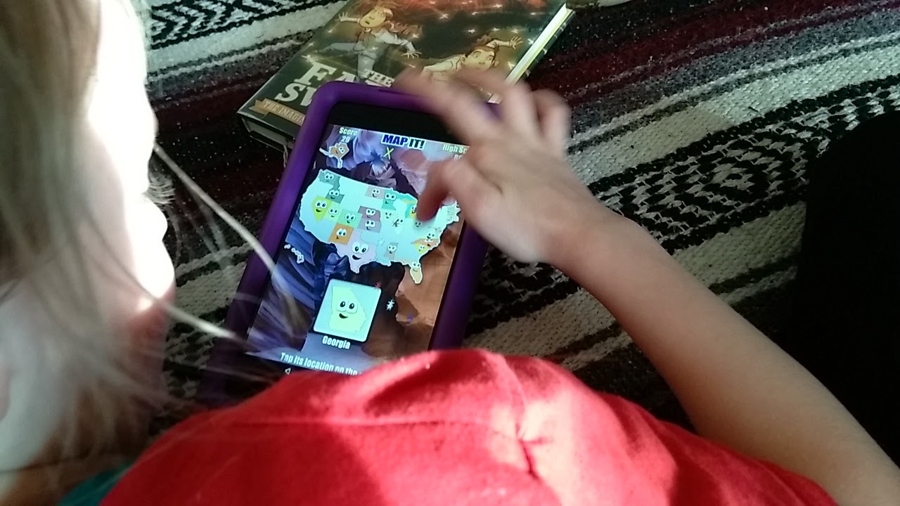
As we were playing these games, it became necessary to pull out a few additional resources in order to try to answer some of the questions the countries game presents. She is pleased that her mama doesn’t know the answers to some of the questions any more than she does. So, out came the globes, the big atlas, the paper atlas, and google.
We used these various tools to research data for the random set of questions presented, and in the process discovered some interesting information, gained some intriguing perspective, and as usual, math became necessary in order to answer one of Lily’s questions that the process generated.
“How big IS Algeria?”, she asked as she realized that the single country was sufficient to achieve a new level in the game (see image for explanation – hence, STACK the Countries).
“It’s huge! It’s bigger than France. Is it bigger than Texas too? Let’s see…”, as she takes over my laptop and displays a google world map of Africa and Europe. She moves the screen to bring the US into view, and declares that, “YES! Algeria is much bigger than Texas”.
I was skeptical that the map being displayed was actually drawn to scale, so I expressed my skepticism and requested we prove out just exactly whether it was to scale, and if so, discover the ratio of comparison of Algeria to Texas, so we’d have a number to remember. The following images and text from Wikipedia illustrate the process we undertook to prove out just exactly how big Algeria really is.
Then, we discovered that Algeria is, historically, actually pretty interesting. So, today, along with some inventions to note, we will find out what we can about Algeria.
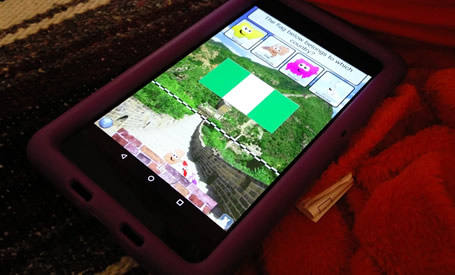
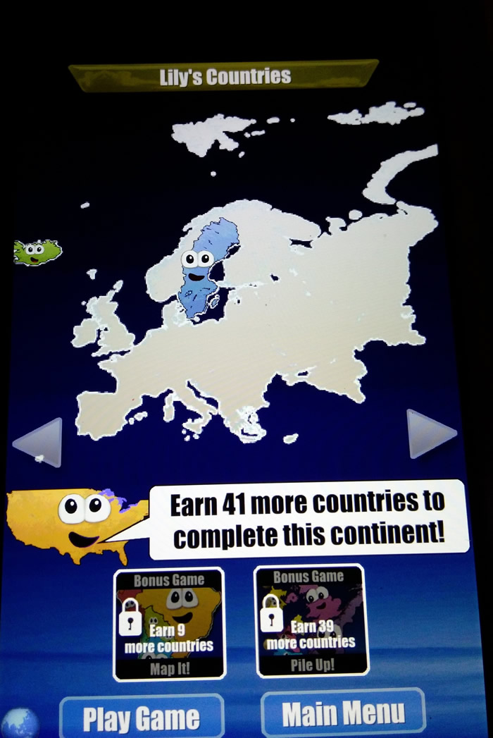
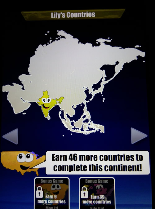
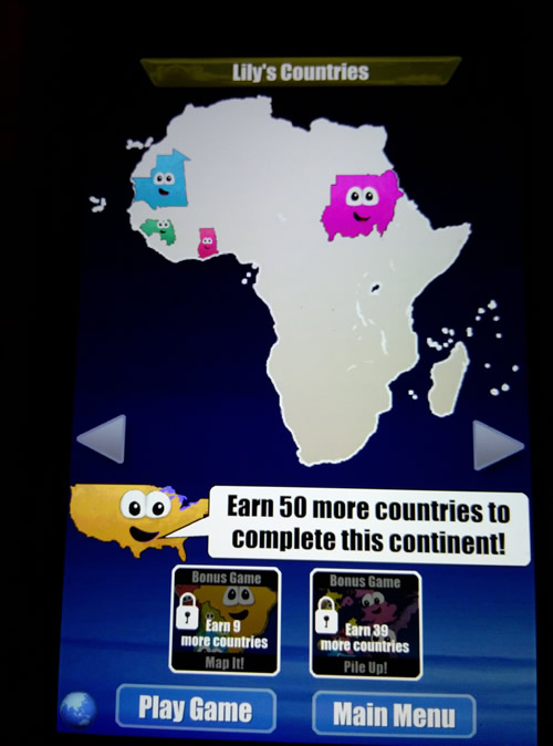
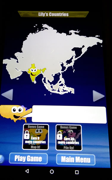
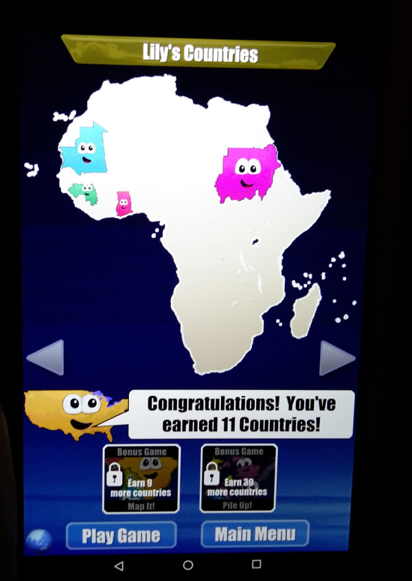
This is a screenshot of the Stack the Countries game mentioned
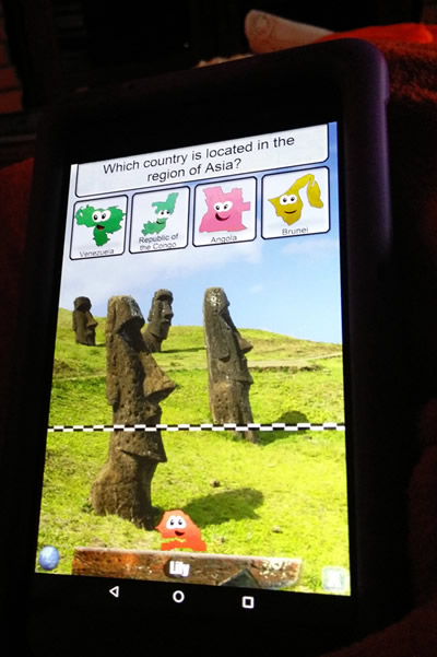
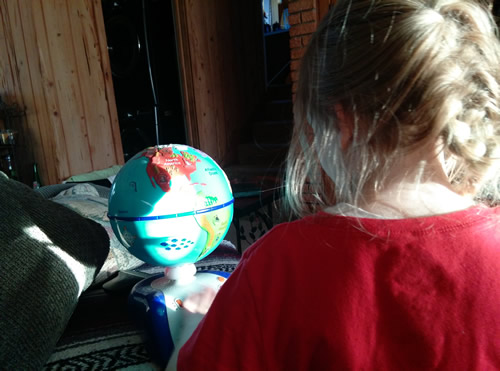
These are her two voice and touch response globes. (Above/Below)
The glove above she’s had since about age 2, and uses it mostly for the games it is programmed with at this point. It is a useful tool for continent locating.
The one below offers political, geographical, customs and stats (food/music/language/population), and most common facts about every country on the planet.
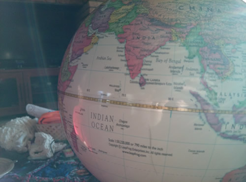
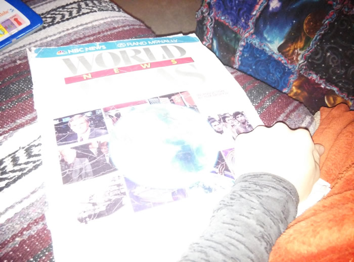
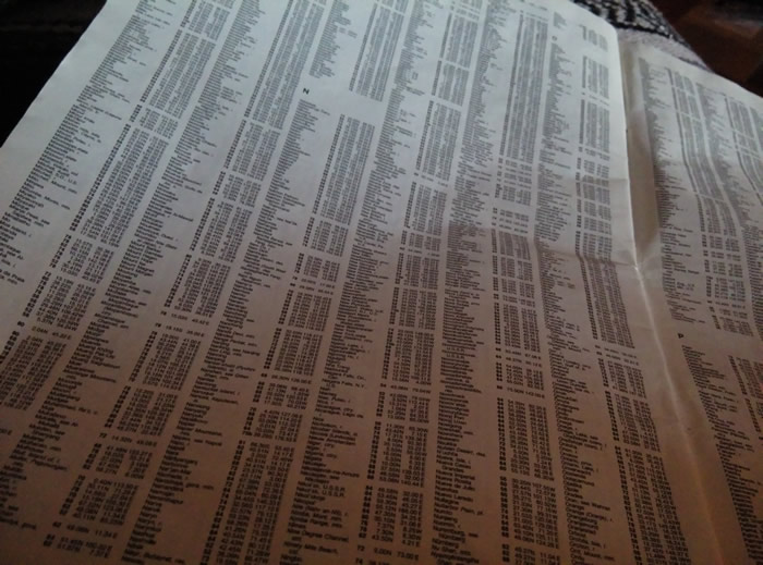
In order to locate Algeria, Lily discovered that there is an index at the end of this Atlas. She’s aware of alphabetical order, though doesn’t have to use it very often because of Google/search utilities, but every once in a while, she is reminded that these useful tools exist. She understands the concept, including into 2nd, 3rd, and subsequent positions. It was entertaining to watch as she found the listing and the corresponding page number, searched, and declared, “Yep, it really is on that page!”

Gaining an Awareness of Just How Big Algeria Really Is
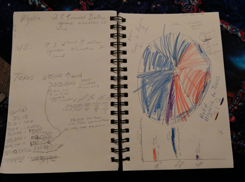
Here we are identifying the three entities we’re using as comparisons. Algeria, Texas, and the US as a control/baseline reference (because, as a result of all our road-travels, she has a fairly decent grasp of the actual “area” of the United States, both E to W and N to S).
- Algeria’s total area, as reported by Wiki, is about 2.8m km2 presently.
- The US (contiguous) is reported at about 9.3m km2 (Wiki reports the US in square miles, so we had to do a quick conversion.
- Texas is reported to have about 700k km2 (also had to do the conversion here, as Texas is reported on Wiki in square miles).
We decided to use rounding in order to make it a little simpler to visualize the land area comparison. Lils understands the method of rounding, and her comprehension of the value of the concept is taking solid shape. She estimates and rounds in her daily life on a regular basis, but when it’s put into numbers that are not concretely represented (for instance, an object in hand, number of kids present, etc.) she has more difficulty employing the method to the reason, and using the result. Through this exercise (shown below), she expressed an awareness of it being less confusing to use 3 million than 2.8, because there were fewer numbers to remember. When I asked if she understood why 2.8 would round to 3, she could not explain. However, when we expanded the number to 2,800,000 she was able to reason rounding up to 3,000,000 because, she as she pointed out, “800 is bigger than 500, 8 is bigger than 5” (see table at bottom of the page we worked through and used for visual comparison and identification of the larger numbers). Her comprehension of decimal concept remains unsolidified, and the use of a “point” to denote a number in the millions is entirely foreign at this point – so here we have an initial exposure.
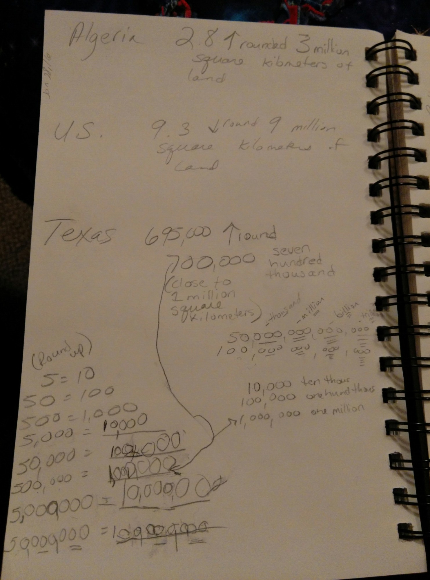
Once the refreshing and comprehension of rounding (and figuring of it) for this specific concept was complete, we moved to visual representation of size comparison.
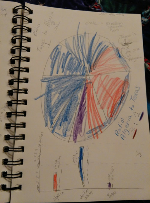
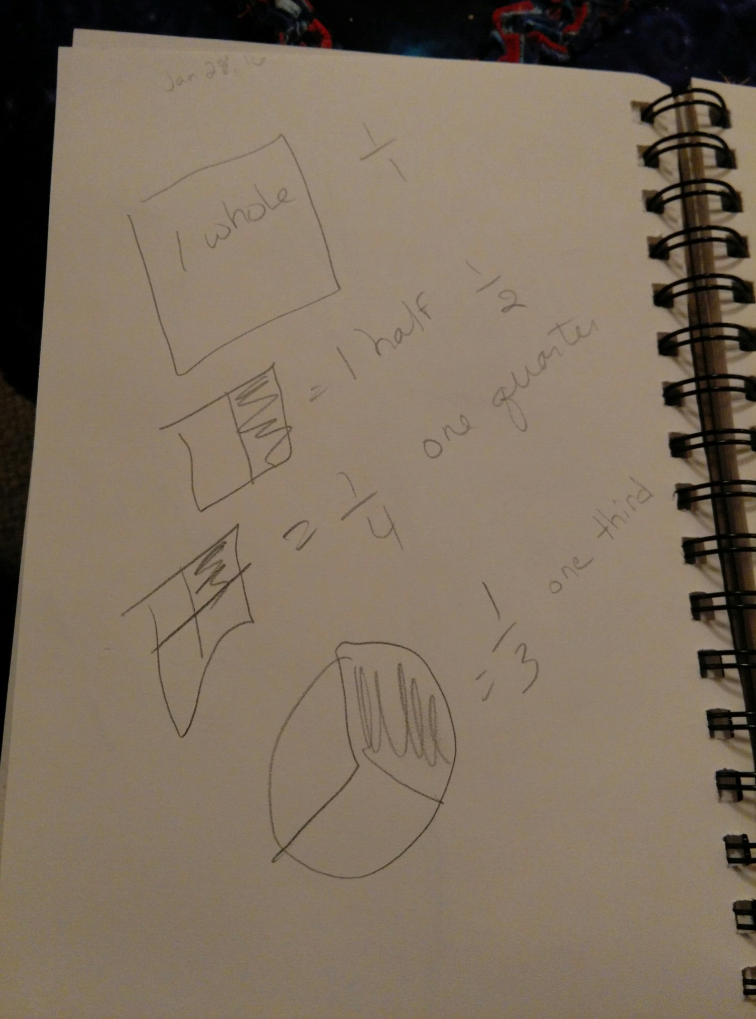
Below is a chart she created, and an area pie that helped develop her reasoning of the comparison. Once she had the visual chunks worked out in her mind, she was able to generate the ratio. Then, she converted the ratio to a fraction, which helped to really give her a solid concept of the size difference between Texas and Algeria, with the US being her baseline reference. Her comprehension of ratio is just beginning to take root, and so converting to fraction representation is most useful at this point.
Below is a video discussing ratio to fraction conversion. We have not yet watched this, but copying in here for reference, as I suspect it will be viewed in the coming days.
Lils temporarily spaced how 1/3 is spoken.. “Onedy, three?”
So, we reviewed.
Algeria

| People’s Democratic Republic of Algeria | ||||||
|---|---|---|---|---|---|---|
|
||||||
| Motto: بالشّعب وللشّعب By the people and for the people[1][2] |
||||||
| Anthem: Kassaman We Pledge |
||||||
.svg) Location of Algeria (dark green)
|
||||||
| Capital and largest city |
Algiers 36°42′N 3°13′E |
|||||
| Official languages | ||||||
| Other languages | French (Business and education)[5] | |||||
| Ethnic groups | ||||||
| Religion | Sunni Islam | |||||
| Demonym | Algerian | |||||
| Government | Unitary semi-presidentialrepublic | |||||
| • | President | Abdelaziz Bouteflika | ||||
| • | Prime Minister | Abdelmalek Sellal | ||||
| Legislature | Parliament | |||||
| • | Upper house | Council of the Nation | ||||
| • | Lower house | People’s National Assembly | ||||
| Independence from France | ||||||
| • | Recognised | 3 July 1962 | ||||
| • | Declared | 5 July 1962 | ||||
| Area | ||||||
| • | Total | 2,381,741 km2 (10th) 919,595 sq mi |
||||
| • | Water (%) | negligible | ||||
| Population | ||||||
| • | 2016 estimate | 40,400,000[6] (33rd) | ||||
| • | 2013 census | 37,900,000[6] | ||||
| • | Density | 15.9/km2 (208th) 37.9/sq mi |
||||
| GDP (PPP) | 2014 estimate | |||||
| • | Total | $551.720 billion[7] (33) | ||||
| • | Per capita | $14,256[7] | ||||
| GDP (nominal) | 2014 estimate | |||||
| • | Total | $227.802 billion[7] | ||||
| • | Per capita | $5,886[7] | ||||
| Gini (1995) | 35.3[8] medium |
|||||
| HDI (2015) |  0.736[9] 0.736[9]high · 83rd |
|||||
| Currency | Dinar (DZD) | |||||
| Time zone | CET (UTC+1) | |||||
| Drives on the | right[10] | |||||
| Calling code | +213 | |||||
| Internet TLD | .dz الجزائر. |
|||||
| a. | ^ The CIA World Factbook states that about 15% of Algerians, a minority, identify as Berber even though many Algerians have Berber origins. The Factbook explains that of the approximately 15% who identify as Berber, most live in the Kabylie region, more closely identify with Berber heritage instead of Arab heritage, and are Muslim. | |||||


Algeria (Arabic: الجزائر al-Jazā’ir; Berber: ⵍⵣⵣⴰⵢⴻⵔ Dzayer), officially People’s Democratic Republic of Algeria, is a country in North Africa on the Mediterranean coast. Its capital and most populous city is Algiers, located in the country’s far north. With an area of 2,381,741 square kilometres (919,595 sq mi), Algeria is the tenth-largest country in the world, and the largest in Africa and the Arab world.[11] Algeria is bordered to the northeast by Tunisia, to the east by Libya, to the west by Morocco, to the southwest by Western Sahara, Mauritania, and Mali, to the southeast by Niger, and to the north by theMediterranean Sea. The country is a semi-presidential republic consisting of 48 provinces and 1,541 communes. Abdelaziz Bouteflika has been President since 1999.
Ancient Algeria has known many empires and dynasties, including ancient Numidians,Phoenicians, Carthaginians, Romans, Vandals, Byzantines, Umayyads, Abbasids, Idrisid,Aghlabid, Rustamid, Fatimids, Zirid, Hammadids, Almoravids, Almohads, Ottomans and theFrench colonial empire. Berbers are generally considered to be the indigenous inhabitants of Algeria. Following the Arab conquest of North Africa, most indigenous inhabitants wereArabised; thus, although most Algerians are Berber in origin, most identify with Arab culture. En masse, Algerians are a mix of Berbers, Arabs, Turks and Black Africans.
The North African country supplies large amounts of natural gas to Europe, and energy exports are the backbone of the economy. According to OPEC Algeria has the 17th largestoil reserves in the world and the second largest in Africa, while it has the 9th largest reserves of natural gas. Sonatrach, the national oil company, is the largest company in Africa. Algeria has one of the largest militaries in Africa and the largest defence budget on the continent; most of Algeria’s weapons are imported from Russia, with whom they are a close ally.[12][13] Algeria is a member of the African Union, the Arab League, OPEC, theUnited Nations and is the founding member of the Maghreb Union.
Physical geography
Texas covers a total area of 268,581 square miles (695,622 km2).
Geography of the United States
From 1989 through 1996, the total area of the US was listed as 9,372,610 km2(3,618,780 sq mi) (land + inland water only). The listed total area changed to 9,629,091 km2 (3,717,813 sq mi) in 1997 (Great Lakes area and coastal waters added), to 9,631,418 km2 (3,718,711 sq mi) in 2004, to 9,631,420 km2 (3,718,710 sq mi) in 2006, and to 9,826,630 km2 (3,794,080 sq mi) in 2007 (territorial waters added). Currently, the CIAWorld Factbook gives 9,826,675 km2 (3,794,100 sq mi),[2] the United Nations Statistics Division gives 9,629,091 km2 (3,717,813 sq mi),[3] and the Encyclopædia Britannica gives 9,522,055 km2 (3,676,486 sq mi)(Great Lakes area included but not coastal waters).[4]These source consider only the 50 states and the Federal District, and exclude overseas territories.
By total area (water as well as land), the United States is either slightly larger or smaller than the People’s Republic of China, making it the world’s third or fourth largest country. China and the United States are smaller than Russia and Canada in total area, but are larger than Brazil. By land area only (exclusive of waters), the United States is the world’s third largest country, after Russia and China, with Canada in fourth. Whether the US or China is the third largest country by total area depends on two factors: (1) The validity of China’s claim on Aksai Chin and Trans-Karakoram Tract. Both these territories are also claimed by India, so are not counted; and (2) How US calculates its own surface area. Since the initial publishing of the World Factbook, the CIA has updated the total area of United States a number of times.[5]
I’m genuinely impressed. No wonder she’s so smart.
Impressed by? Did you watch her video? You should try to beat her at that game…